Search the Blog
Categories
- Books & Reading
- Broadband Buzz
- Census
- Education & Training
- Friday Reads
- General
- Grants
- Information Resources
- Library Management
- Nebraska Center for the Book
- Nebraska Libraries on the Web
- Nebraska Memories
- Now hiring @ your library
- Preservation
- Pretty Sweet Tech
- Programming
- Public Library Boards of Trustees
- Public Relations
- Talking Book & Braille Service (TBBS)
- Technology
- Uncategorized
- What's Up Doc / Govdocs
- Youth Services
Archives
Subscribe
Category Archives: Nebraska Memories
Music in the Air
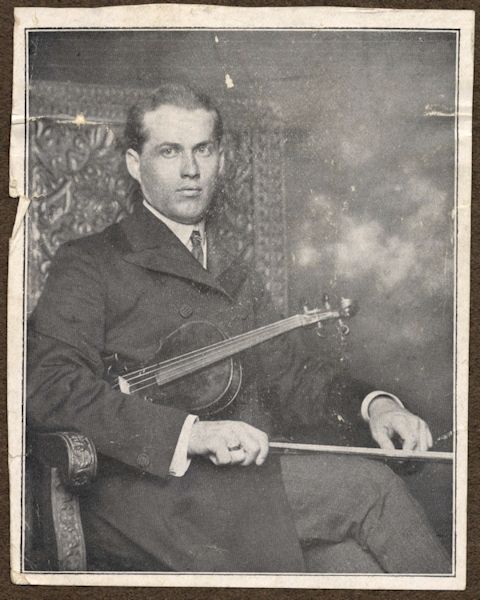
As mentioned in Beat of a Different Drummer, Lincoln had a thriving music scene at the turn of the twentieth century, and opera houses could be found in many small towns across Nebraska. How did they find performers before mass media or social media? Not all performers made their livings solely from performing. For an example, take a look at the career of August Molzer, violinist, pictured above (from a promotional pamphlet in the Donated Materials Collection).
Molzer was something of a local celebrity. Some years after moving to Wilber, Nebraska, from Bohemia as a boy of seven with his family, Molzer was sent back to Bohemia for musical schooling due to his aptitude for playing the violin. As noted in the promotional pamphlet, he studied under well-known musicians in the Prague Conservatory and performed well-received concerts in Europe. Upon his return to Nebraska, he taught music at both Nebraska Wesleyan University and the University of Nebraska School of Music in Lincoln. The pamphlet was printed and distributed by Nebraska Wesleyan University circa 1907.
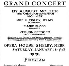
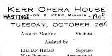 Two concert programs from the Polley Music Library Collection detail performances Molzer gave in Nebraska after the promotional pamphlet was produced. The program at left was for a concert at the Shelby Opera House given January 18, 1908, and the one at the right was for a concert at the Kerr Operal House in Hastings given October 26, 1909. Note in the Kerr Opera House program the other performers are also faculty of the Nebraska Wesleyan Conservatory of Music.
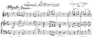 In addition to teaching and performing, Molzer also composed music. The Polley Music Collection also contains two
 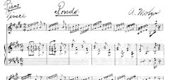 manuscripts of Molzer’s pieces for violin and piano: the “Menuet Bohemian” at left and “Rondo” at right, both circa 1910.
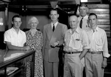 After teaching in Lincoln for nearly three decades, Molzer, his wife and their two youngest children moved to Laramie where he taught music at the University of Wyoming. However, it seems there was also music in the “heir”, as Molzer’s oldest son, Robert, remained in Lincoln where he later owned the Molzer Music Store. In the 1946 photograph at the right, Robert is most likely the man dressed in a suit, standing with his employees (Townsend Studio Collection). In addition to selling music and musical instruments, employees repaired instruments as can be seen in other store photographs.
Visit Nebraska Memories to search or browse for more advertising materials or other historical images digitized from photographs, negatives, postcards, maps, lantern slides, books and various materials.
Nebraska Memories is a cooperative project to digitize Nebraska-related historical and cultural heritage materials and make them available to researchers of all ages via the Internet. Nebraska Memories is brought to you by the Nebraska Library Commission. If your institution is interested in participating in Nebraska Memories, see http://nlc.nebraska.gov/nebraskamemories/participation.aspx for more information, or contact Devra Dragos, Technology & Access Services Director.
Posted in Nebraska Memories
Leave a comment
The Modern Farm Horse
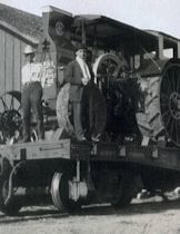 As the harvest season is ending, I thought it would be a great time to look at some of the first tractors Nebraskans used to work the fields. Looking at the photos in Nebraska Memories makes me wonder what people thought of these large metal machines as they started to be delivered to farms across the state. Someone in Sidney cared enough to have a photo taken of a railroad flat car loaded with three International Harvester Mogul steam tractors. You can see how large the tractors are compared to the men standing in front of them.
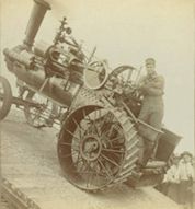 Photographer John Nelson took a picture of man who I consider to be brave. The man is standing on the back of a tractor that appears to be part way up a ramp with a sharp incline. The tractor must have great breaks since it is not rolling down the incline.
John Nelson also took a picture of a group of six men standing next to a tractor in what appears to be the middle of a field. While we may never know what was really going on at the time of this picture it appears to me that they got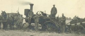 the tractor and the cart they were pulling stuck in the mud. As you can see, the back wheels of the tractor and the wagon wheels are almost axel deep in mud. You have to wonder if the tractor made it out on its own steam or if the men and/or horses in the picture had to help.
If you haven’t noticed, I don’t know much about tractors. When I saw the photo of the Hart-Parr Company, I just assumed it was a local company in Lincoln. I love the sign next to the garage door. It states “The modern farm horse. Does plowing for 40 to 60 cents per acre. eats nothing when idle”. 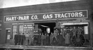
I originally planned to do a bit of research to see if I could learn something about this local company. I was surprised to learn however that the Hart-Parr Company was actually a tractor company based out of Charles City Iowa. I can only assume that the location in Lincoln was the local dealership. If you are a tractor enthusiast, you may be interested to know that Hart-Parr merged with three other companies in 1929 to form the Oliver Farm Equipment Company. The Oliver Company went through some changes and finally ended up being White Farm Equipment.
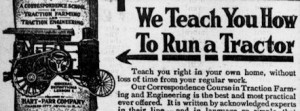 One of the place I looked for information about the Hart-Parr Company was in the Library of Congress’s Chronicling America: Historic American Newspapers collection. While I
  didn’t find the type of information I was hoping to find I did run across a couple of fun ads that appeared in The Commoner. In 1912 the Hart-Parr Company offered a correspondence course that would teach you how to run a tractor. Participants in the course also got to attend the practice schools where they could “actually run a tractor”. One of these schools was located in Lincoln.
I hoped you enjoyed seeing some of these “Modern Farm Horse”. Visit Nebraska Memories to search for or browse through many more historical images digitized from photographs, negatives, postcards, maps, lantern slides, books and other materials.
Nebraska Memories is a cooperative project to digitize Nebraska-related historical and cultural heritage materials and make them available to researchers of all ages via the Internet. Nebraska Memories is brought to you by the Nebraska Library Commission. If your institution is interested in participating in Nebraska Memories, see http://nlc.nebraska.gov/nebraskamemories/participation.aspx for more information, contact Devra Dragos, Technology & Access Services Director.
High on Education
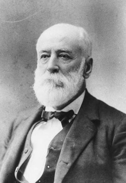 Education was very important in the growth of the new state of Nebraska, and colleges were established in many communities. Bethany Heights, Blair, College View, Crete, Fremont, Hastings, Kearney, Lincoln, Omaha, Peru, Seward, Spalding, University Place, and York, to name a few, all had a public or private college before 1900; some thrived, others did not. One still very much in existance today was founded by the gentleman pictured above, Thomas Doane (Doane College Library collection).
Doane, chief engineer for the Burlington and Missouri Railroad, helped establish the Crete Academy in 1871 which became Doane College after the grant of acreage on the hills east of Crete from the railroad in 1872. Doane continued to support the college until his death in 1897 by sitting on the board of trustees and contributing funds.
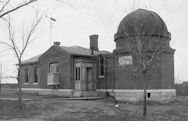
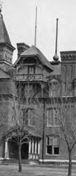 Other benefactors of the college included Charles Boswell, the stepfather of one of the instructors, for whom the Boswell Observatory (left) was named. One of the first astronomical observatories in Nebraska, the building also housed weather observation equipment and a Greenwich Mean Time clock. The clock was connected to a “time ball” atop Merrill Hall (right). Shown in the lowered position, the ball indicates that it is past noon on the day this photograph was taken. Each day at noon the clock in Boswell Observatory would send an electrical pulse to the ball at the top of the shaft on Merril Hall; the 56-pound ball measuring 32 inches in diameter would then fall down the shaft, slowed by a brake before coming to a rest at the roof. A student using a pulley system would raise it back to the top each morning. Standard time was just coming into common use and people from the community as well as at the college would watch the ball on top of the building on the hill fall at noon to set their watches and clocks.
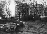 Merrill Hall, the first building built on the new campus, was just one of the buildings at the college designed by a prominent architectural firm. While Thomas Doane hired a Boston firm to design Merrill Hall, two former Doane students working for a Chicago architectural firm designed the dormitory, Men’s Hall (Men’s Hall and Brandt Bridge, left), in the Collegiate Gothic style. Built in 1929, the men’s dormitory contained the latest modern conveniences. A women’s dormitory designed in the same style sat at the opposite end of the campus.
See other pictures in this newest Nebraska Memories collection under Doane College Library.
Visit Nebraska Memories to search or browse for other historical images digitized from photographs, negatives, postcards, maps, lantern slides, books and various materials.
Nebraska Memories is a cooperative project to digitize Nebraska-related historical and cultural heritage materials and make them available to researchers of all ages via the Internet. Nebraska Memories is brought to you by the Nebraska Library Commission. If your institution is interested in participating in Nebraska Memories, see http://nlc.nebraska.gov/nebraskamemories/participation.aspx for more information, or contact Devra Dragos, Technology & Access Services Director.
Posted in Nebraska Memories
Leave a comment
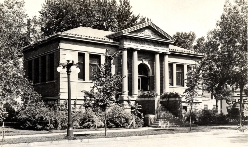
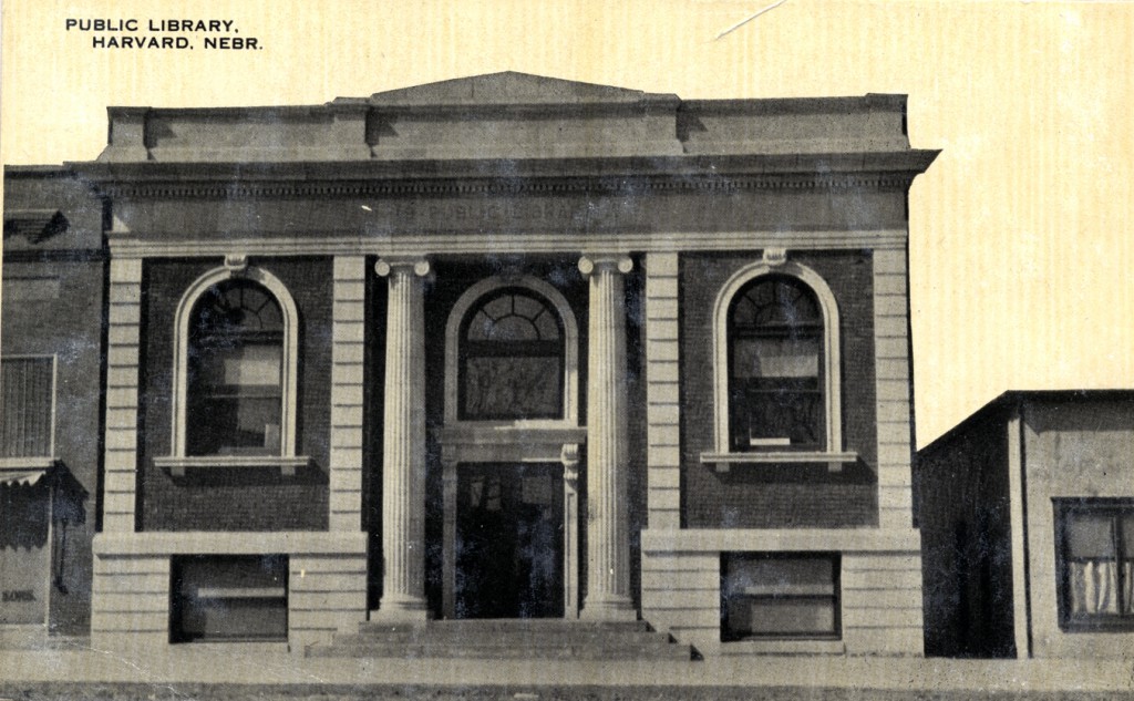
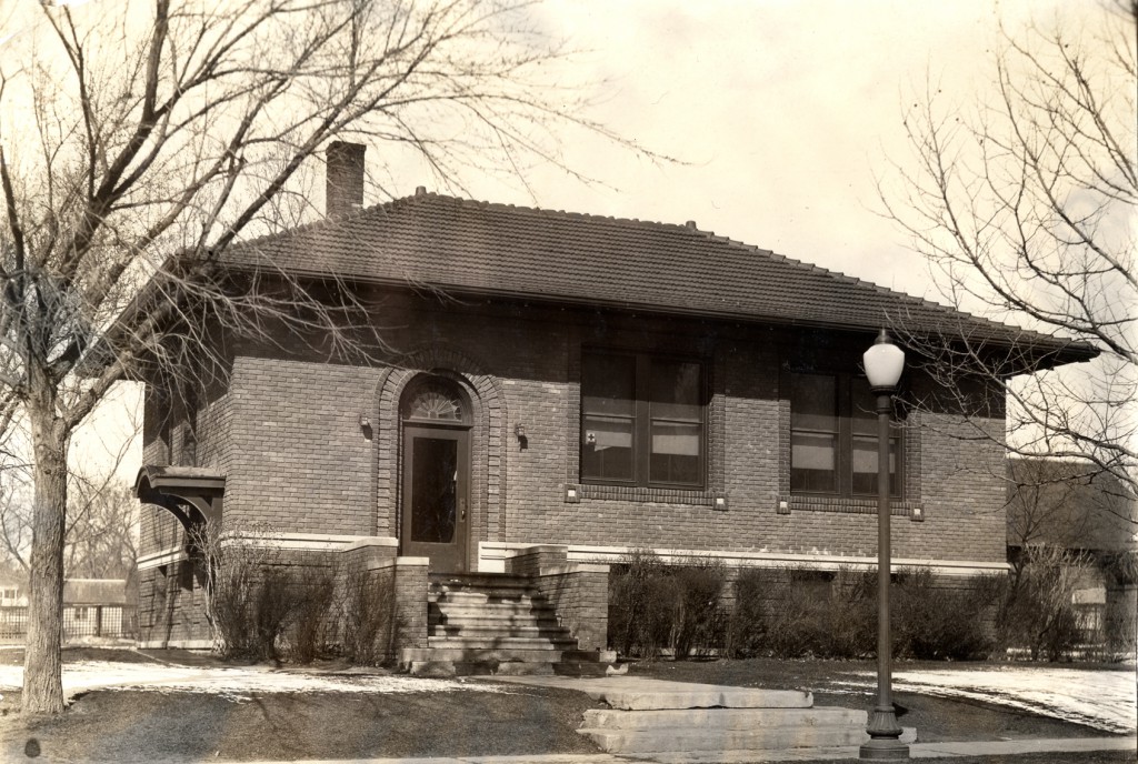
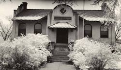
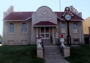
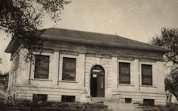
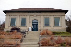
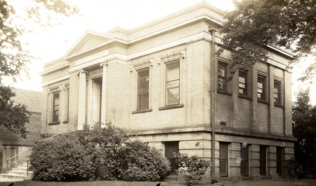
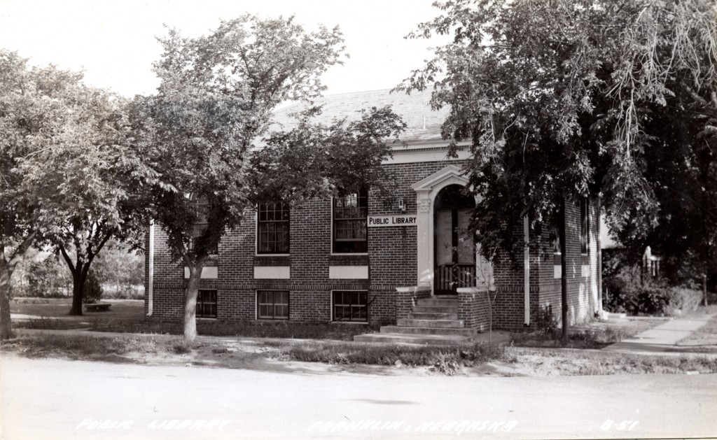
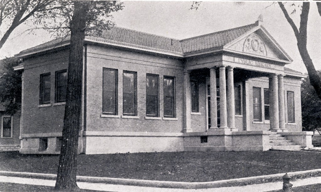
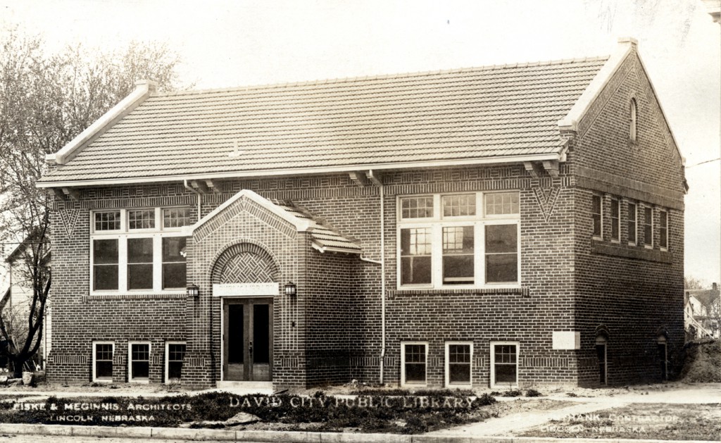
Throwback Thursday: Hartington Carnegie Library
Posted in General, Nebraska Memories
Leave a comment
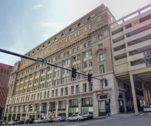
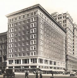
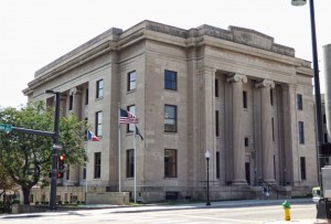
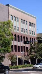
Nebraska Then and Now Part 2
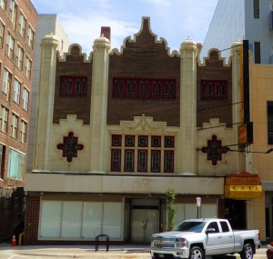
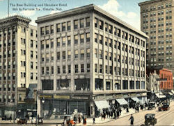
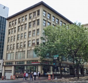
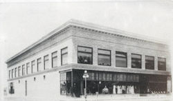
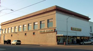
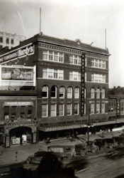
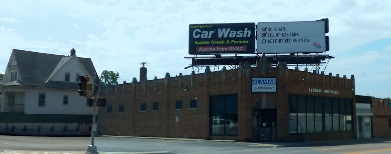
Last month I wrote a post that showed 15 historical images of buildings that are part of the Nebraska Memories collection and are still standing today. As I mentioned, I’ve tried to take pictures of some of these historical buildings as I’ve traveled the state because I thought it would be fun to see how much or how little these buildings have changed. As I was going through my collection of photos I realized I had enough photos for at least one more post showing what Nebraska looked like then and now.
I hope you enjoy looking at these pictures to see how these buildings have and have not changed over the years.
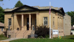
Albion Public Library in Nebraska – 437 S 3rd St, Albion
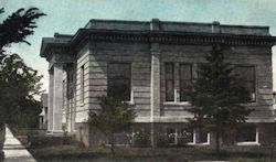
Public Library, Alliance, Neb. – 204 W 4th St, Alliance
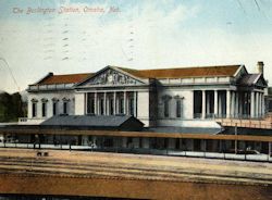
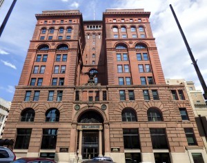
Burlington Station, Omaha, Neb. – 926 S. 10th Street, Omaha
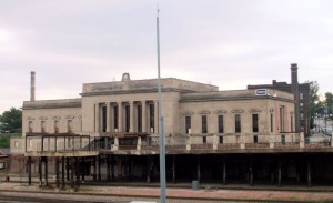
Picture: 2015
Read about how the Burlington Station is being remolded.
Burlington Station – 925 S. 10th Street, Omaha
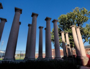
Picture: 2015
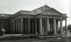
The columns were removed from the Burlington Station during a renovation in 1930. The columns are now located on the UNL Campus near Memorial Stadium.
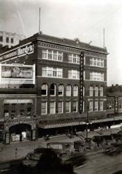
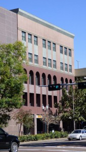
Hardy’s Furniture Building – 1314 O Street, Lincoln
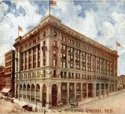
J. L. Brandeis & Sons Building, Omaha, Neb. – 16th and Douglas Streets, Omaha
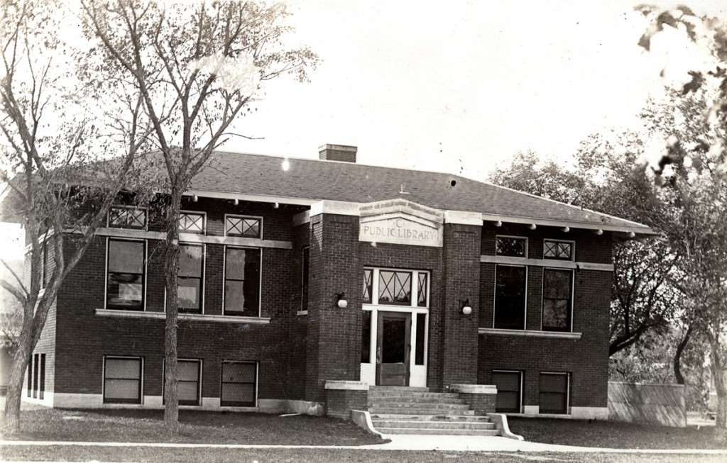
Library building, McCook413 Norris Ave, McCook
Nash Building – 16th and Harney Streets, Omaha
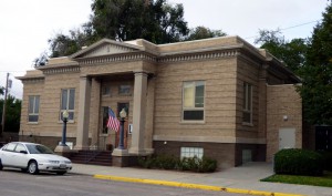
Ponca Public Library in Nebraska – 203 2nd St, Ponca
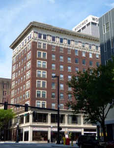
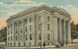
Scottish Rite Cathedral, Omaha, Neb. – 20th & Douglas Streets, Omaha
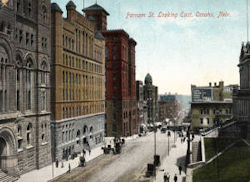
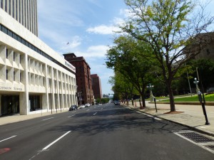
Farnam St. looking east, Omaha, Nebr. – Farnam Street looking east from 18th Street, Omaha
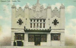
Hanson’s Cafe, Omaha, Neb. – 315 S. 16th Street, Omaha
Rose Building and Henshaw Hotel, 16th & Farnam Sts., Omaha, Neb. – 16th & Farnam St., Omaha
Mitchell Mercantile – 13th & Center Ave, Mitchell
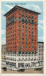
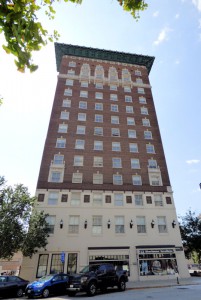
Hotel Hill, Omaha, Nebraska – 505 South 16th Street, Omaha
Hardy’s Furniture Building – 1314 O Street, Lincoln
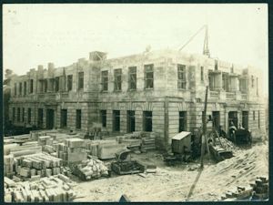
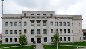
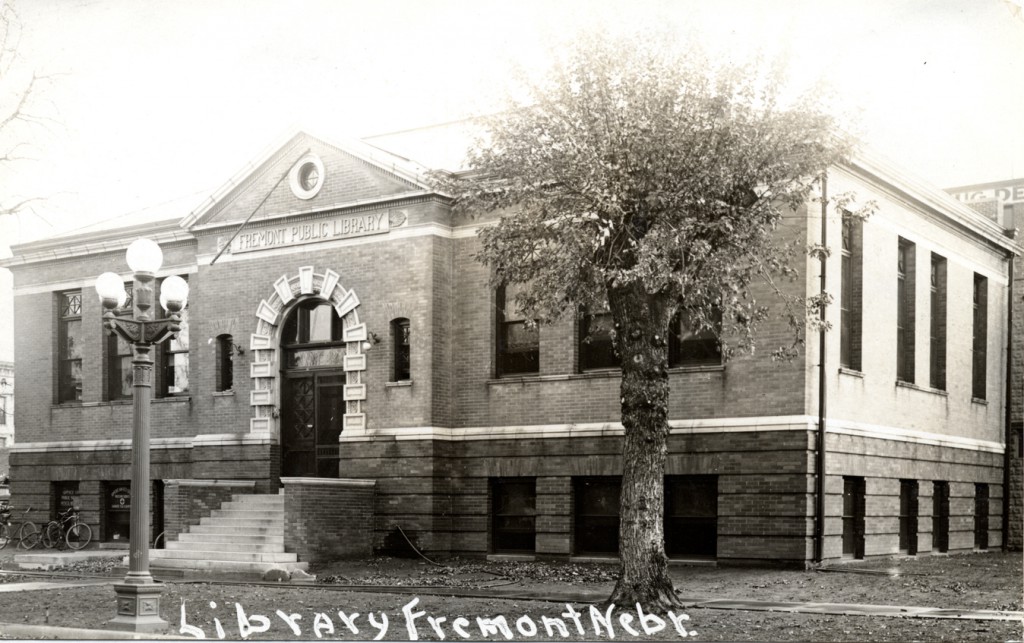
Dodge County Courthouse construction, Fremont, Nebraska – 435 N Park Ave
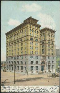
New York Life Ins. Bld., Omaha, Neb. – 17th & Farnam Streets, Omaha
Visit Nebraska Memories to search for or browse through many more historical images digitized from photographs, negatives, postcards, maps, lantern slides, books and other materials.
Nebraska Memories is a cooperative project to digitize Nebraska-related historical and cultural heritage materials and make them available to researchers of all ages via the Internet. Nebraska Memories is brought to you by the Nebraska Library Commission. If your institution is interested in participating in Nebraska Memories, see http://nlc.nebraska.gov/nebraskamemories/participation.aspx for more information, contact Devra Dragos, Technology & Access Services Director.
Posted in General, Nebraska Memories, Technology
Leave a comment
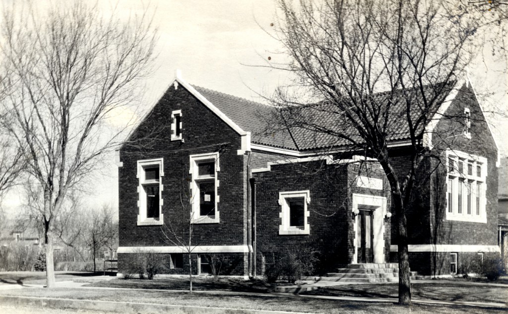
Throwback Thursday: Grand Island Carnegie Library
Posted in General, Nebraska Memories
Leave a comment
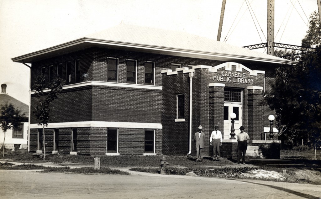
Throwback Thursday: Gothenburg Carnegie Library
Posted in General, Nebraska Memories
Leave a comment
Nebraska Then and Now
When looking at pictures of historical buildings in Nebraska Memories I’m always surprised at how many buildings and places I recognize. Many of these buildings have been around for 100 years and are still being used today. Over the years, as I’ve traveled across the state, I’ve tried to take pictures of some of these historical buildings because I thought it would be fun to see how much or how little these buildings have changed.
As I’ve taken pictures of these buildings there are a few things that I have noticed. First of all there is a lot less clutter in the historical photos. Today many of the pictures I’ve taken are full of stop lights, street signs, and electrical lines. Also it appears that we have planted a lot of trees over the past 100 or so years. I like trees. I think it’s great we have planted so many but it really makes it hard to take a picture of a building when it is surrounded by trees. The last thing I’ve noticed as I’ve looked at the old photos is angle from which the photos were taken from. The photographers were either able to stand further away from the buildings or they had access to a neighboring building and took the picture out the window or from the rooftop. Also you can only move so far back when you are standing on a street corner in downtown Omaha surrounded by tall buildings.
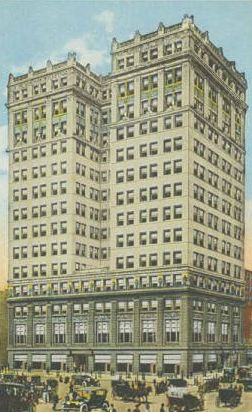
I hope you enjoy looking at these pictures to see how some of these buildings have and have not changed over the years. Click on an old picture to learn more about the building. Click on the new picture to see a larger version of the new picture.
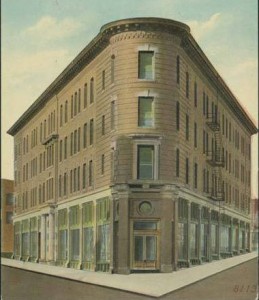
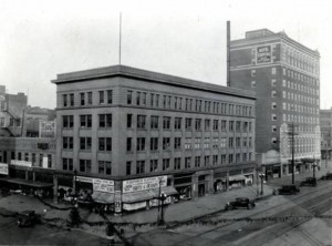
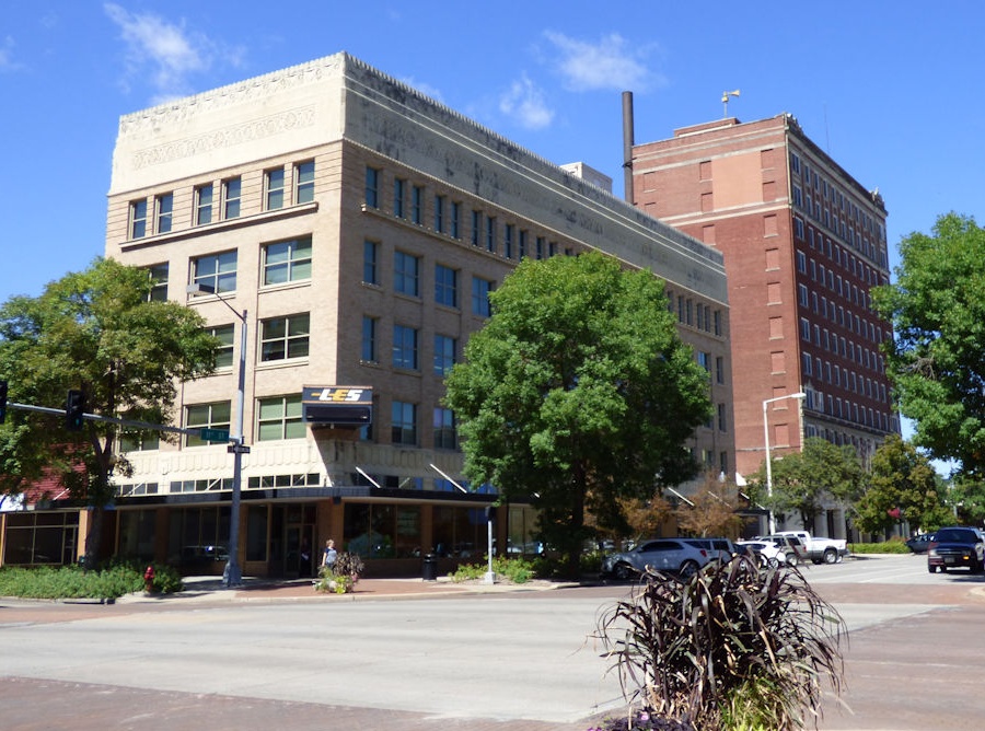
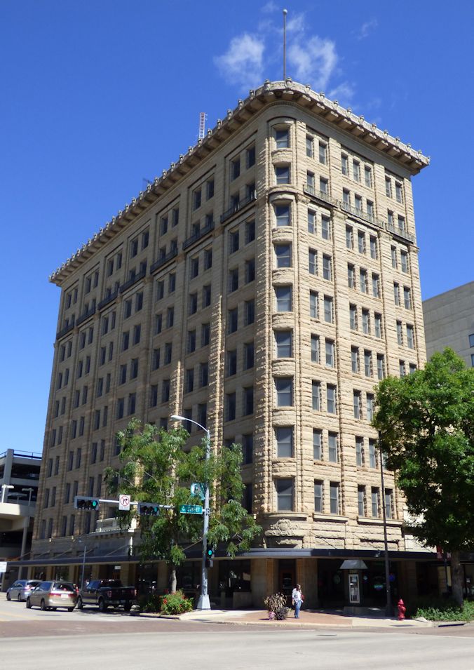
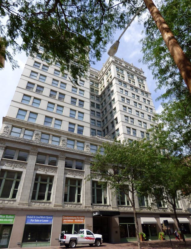
Flat Iron Building – 17th, St. Mary’s, Howard, and 18th Streets, Omaha
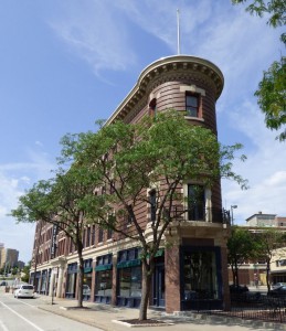
Picture: 2015
Read about the recent renovations to this building.
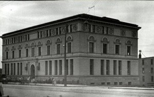
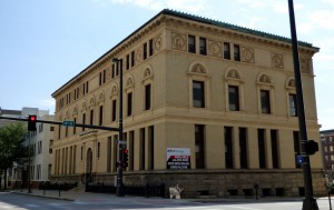
Omaha Public Library – 19th and Harney Streets, Omaha
Little Building – 11th and O Streets, Lincoln
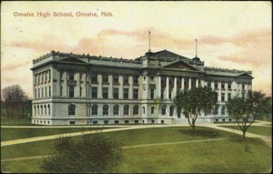
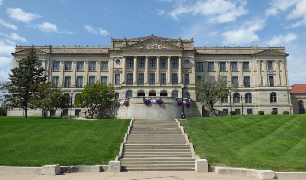
Omaha High School – 20th and Dodge St, Omaha
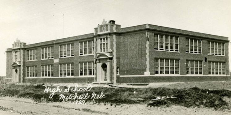
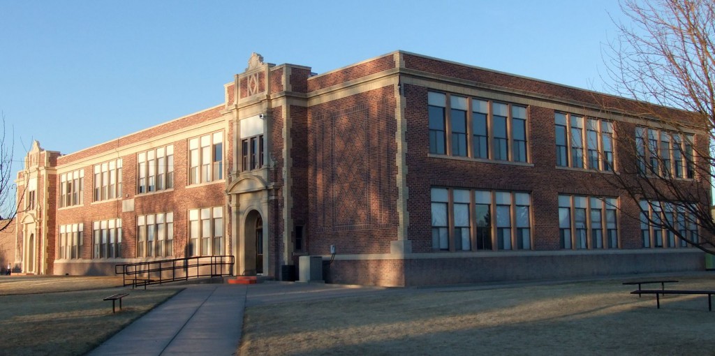
Mitchell High School – 19th Ave and 18th St, Mitchell
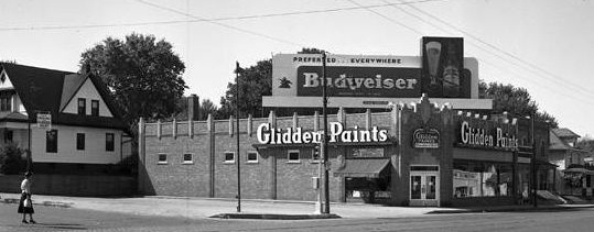
Exterior of Glidden Paints building – 31st and Leavenworth St, Omaha
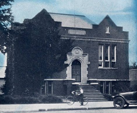
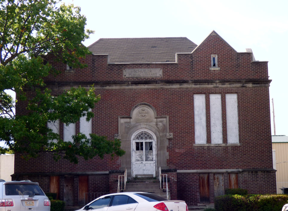
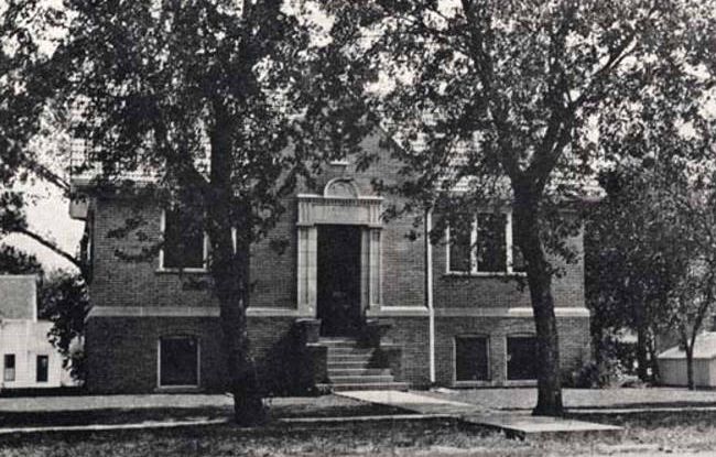
Public Library, Schuyler, Nebr. – E 10th and C Streets, Schuyler
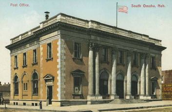
Post office, South Omaha, Neb. – S 24th and M Streets, Omaha
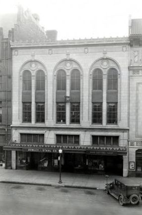
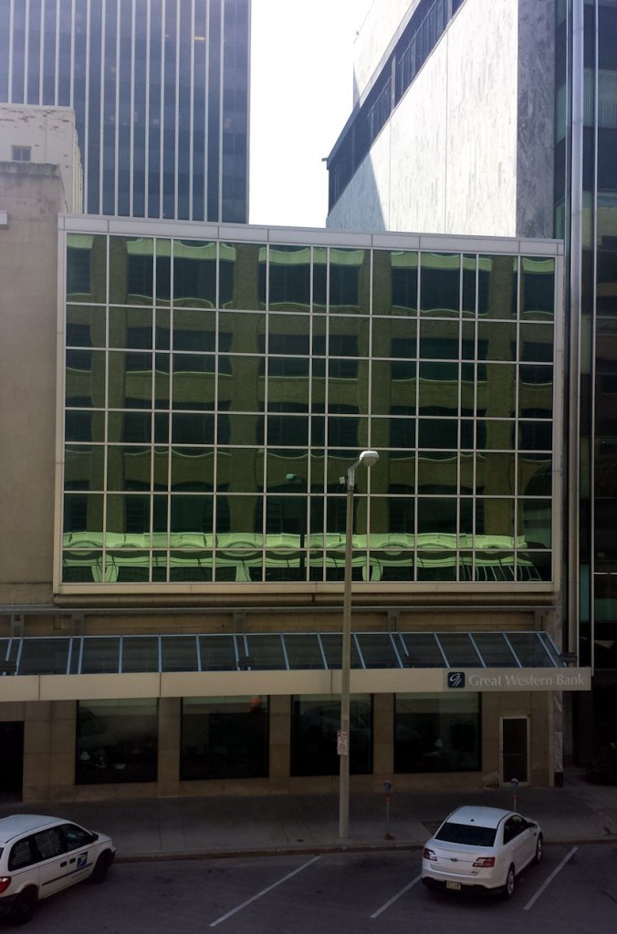
Donley Stahl Building – 13th and N Street, Lincoln
Carnegie Library, Ashland – N 15th and Boyd Streets, Ashland
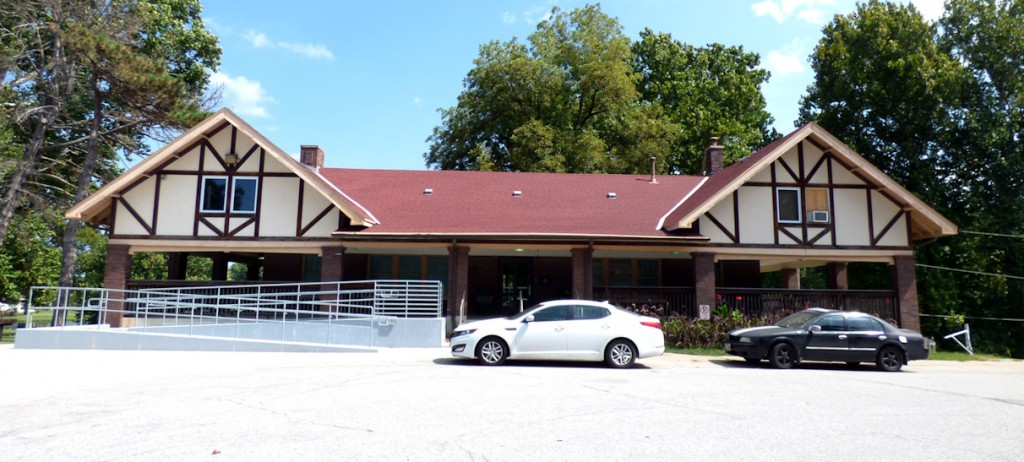
Pavilion at Miller Park – Millier Park Drive, Omaha
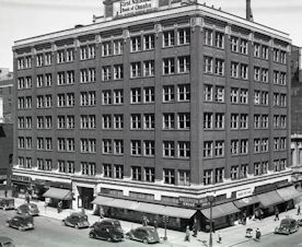
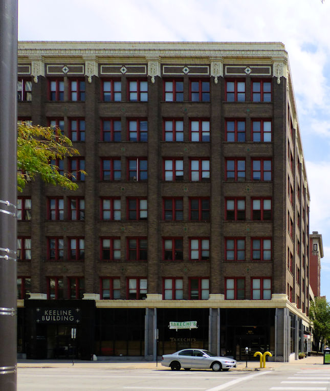
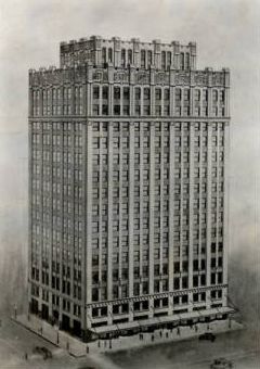
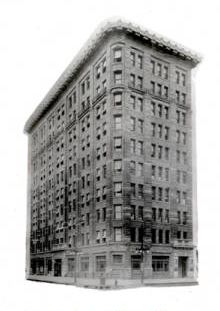
Keeline Building – 17th & Harney Streets, Omaha
Sharp Building – 13th and N Street, Lincoln
Security Mutual Building – 12th and O Streets, Lincoln
First National Bank – 16th and Farnam Streets, Omaha
Visit Nebraska Memories to search for or browse through many more historical images digitized from photographs, negatives, postcards, maps, lantern slides, books and other materials.
Nebraska Memories is a cooperative project to digitize Nebraska-related historical and cultural heritage materials and make them available to researchers of all ages via the Internet. Nebraska Memories is brought to you by the Nebraska Library Commission. If your institution is interested in participating in Nebraska Memories, see http://nlc.nebraska.gov/nebraskamemories/participation.aspx for more information, contact Devra Dragos, Technology & Access Services Director.
Posted in General, Nebraska Memories, Technology
3 Comments
Sell, Sell, Sell
Any good marketer will tell you that you need to continually put your product or 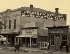 service in front of people to make a sale. Today we are bombarded on all sides with commercials and advertising. But years ago there wasn’t such a wide range of media, so how did businesses reach their prospective customers? For some businesses that meant going beyond putting the name of their business on the front of their buildings to spelling out their products on signs meant to catch people’s attention. The Pioneer Drug Store spelled out their interesting combination of products–
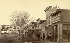 DRUGS PAINTS OILS GLASS AND WALLPAPER–on the side of the building in the photograph at left. (South side of Front Street looking east from Chestnut Street, Sidney, Nebraska; Cheyenne County Historical Society and Museum Collection) Down the street, Adam Ickes’ Dry Goods Store positioned a sign perpendicular to the street that could be easily read by passersby, at right. (Front Street, Sidney, Nebraska)
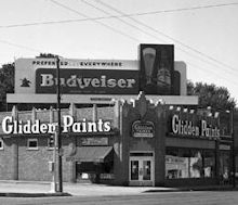 Signage advanced to individual letters attached to buildings as in the picture at right with Glidden Paints capitalizing on their corner position by spelling out their name on two sides of the building. And if you have space on the roof, why not lease it to someone else–like Budweiser–for advertising? (Exterior of Glidden Paints Building, The Durham Museum Collection)
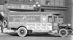 Mobile advertising works well, too. Capitol City Tire Company’s truck at left advertises the brand of tires they carried (Capitol City Tire Company;
 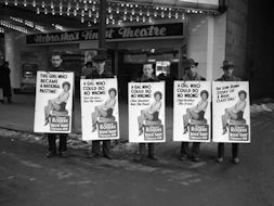 Townsend Studio Collection). And what could be more eye-catching than a group of men walking the street in sandwich board signs promoting the movie Roxie Hart with a pretty Ginger Rogers at right? (Men wearing signs advertising movie; The Durham Museum Collection)
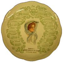
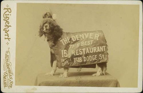 But what could be better than advertising that a person takes home with them? Use a picture of a cute dog and who wouldn’t want to try out the Denver Chop House Restaurant? (Denver Chop House Restaurant doggie, Omaha Public Library collection) Or if a pretty Gibson-style lady is more to your taste, perhaps you would have hung the calendar plate given out by a Papillion bank. (Banking House of A.W. Clarke 1909 calendar plate, Sarpy County Historical Museum Collection)
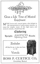
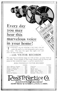 Targeted advertising can be very profitable. If you attended the Efrem Zimbalist concert in 1919, your program contained an advertisement encouraging you to purchase a Victrola from Ross P. Curtice Co. so that “Zimbalist will play for you in your own home.” (Great artist course: Efrem Zimbalist; Polley Music Library Collection) Or if you attended the Rosa Ponselle concert a few seasons later, your program listed the Victor Records containing her songs also available at Ross P. Curtice Co. (Great artist course presenting Miss Rosa Ponselle, Polley Music Library Collection)
Visit Nebraska Memories to search or browse for more advertising materials or other historical images digitized from photographs, negatives, postcards, maps, lantern slides, books and various materials.
Nebraska Memories is a cooperative project to digitize Nebraska-related historical and cultural heritage materials and make them available to researchers of all ages via the Internet. Nebraska Memories is brought to you by the Nebraska Library Commission. If your institution is interested in participating in Nebraska Memories, see http://nlc.nebraska.gov/nebraskamemories/participation.aspx for more information, or contact Devra Dragos, Technology & Access Services Director.
Posted in Nebraska Memories
Leave a comment
